Our Recent Work

University of Delaware

United Nations

SUNY Buffalo
Our Philosophy
Underground Services, Inc (SoftDig®) takes pride in providing the highest possible quality utility data collection for our clients, exceeding their expectations every time. Our staff of dedicated technicians, professional engineers and support staff work very hard to provide accurate documentation of existing underground utility infrastructure by utilizing state of the art technology and methods. As one of the first Subsurface Utility Engineering (SUE) providers in the United States, we have a wealth of knowledge that our clients, including many of the large engineering, industrial and construction firms in the Northeast and Texas, have come to depend on in planning and executing their complex projects. Our outstanding client service means that we thrive on repeat business from clients who know that our professionalism and reliability means accurate data collection performed economically and promptly.
Our Core Services
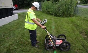
Ground Penetrating Radar
Ground Penetrating Radar (GPR) is a mobile utility locating device that can be used to locate underground utilities, storage tanks, voids, and other underground anomalies.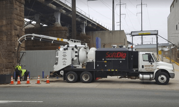
Vacuum Excavation
Vacuum excavation is the process of removing a column of earth with a vacuum system comprised of a truck-mounted compressor/vacuum system that utilizes a thin nozzle tube.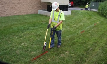
Private Utility Locating
SoftDig® provides quality private utility locating to accurately find and document the location of existing utilities such as electric, gas, water and communications lines.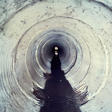
CCTV Pipe Inspection
SoftDig® provides closed - circuit television (CCTV) services that are used to inspect the internal condition of sewer and storm pipes, which provide video records that can be accessed at a later time.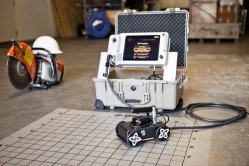
Concrete Scanning
SoftDig® conducts scans using cutting edge technology to identify utilities such as conduits, cables, or any other pipes that are located under concrete floors, walls, or ceilings.
Utility Mapping
SoftDig® is equipped with Total Station surveying equipment, handheld GPS, antennae, and desktop CAD/GIS software. Using this equipment, our GIS and Survey Specialists are capable of producing high quality utility maps.SoftDig® has served the entire Northeast and Mid-Atlantic Regions, as well as the State of Texas with the following comprehensive services in support of complex engineering and construction projects:
Boring Clearing for Geotechnical Applications Ground Penetrating Radar (GPR) EMT Surface Designating and Markouts Video Pipe Inspection Concrete & Wall Scanning GPR GPS Survey and CAD/GIS Mapping Utility Engineering ConsultingLatest Posts
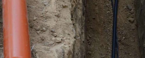
Locating Underground Hazards, Before They Cause Damage
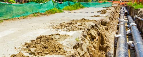
When to Call in a Private Utility Locator
