During the past few years, the surveying and mapping industries have changed significantly. Regardless, it is still important to have an accurate picture of utilities before beginning a new project. While this process can take a painstakingly long amount of time, there are modern tools that can make the process easier. This includes a tool called GNSS, which stands for Global Navigational Satellite System. This is an innovative system that can streamline the process, making it easier and safer. Take a look at a few common applications below, and make sure you put your project in the best position possible to be successful.
Table of Contents
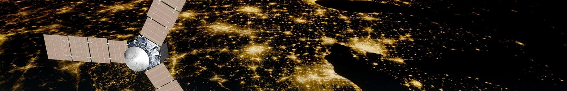
How Does GNSS Work?
When people talk about the new GNSS tool in this field, they usually talk about GNSS RTK with integrated visual positioning. This is a tool that gives users the ability to capture accurate information about a specific area from a great distance away. This gives users the information they need with a stunning amount of accuracy without asking them to wait for a long time.
Now, there are also GNSS rovers that have integrated inertial measurement units, which are even more accurate because they are not impacted by any magnetic disturbances that might throw off other tools, making them even more useful. This advanced method of utility mapping has a number of advantages that everyone should keep in mind.
What Are the Advantages of GNSS?
Better Accuracy
One of the biggest advantages of using a GNSS system is that it is more accurate than other options. As mentioned above, this is not a system that is impacted by changes in magnetic fields. With access to real-time kinematic information, usually shortened to RTK, as well as precise point positioning, or PPP, this is one of the most advanced systems available. The result is that the information is much more reliable for surveyors, giving them access to the information they need to make decisions about how to proceed with the project. Some systems even provide a CS-HA, or High Accuracy, service.
Speed
GNSS is also a modern, fast system that reduces the amount of time people have to spend waiting for results. In the past, it would take a long time for computer systems to produce accurate 3D data. Now, this is a system that reduces the need for utility strikes, cuts out burdensome change orders, and helps projects get completed more quickly. Furthermore, because the tool is more accurate, there are fewer mistakes made during the construction project, further streamlining everything. 3D laser scanning and GPR shorten the time required to collect the necessary data and reduces data clashes. This system also cuts down on vacuum excavation, further saving time.
Increased Safety
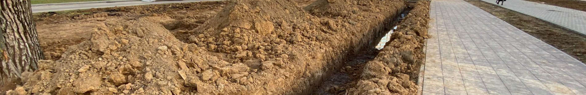
Because this is a tool that can reduce the need for vacuum excavation, it is significantly safer. The less time people have to spend digging into the ground, the safer the system is. It gives people the ability to capture hundreds of data points from a safe distance away, which reduces the chances of someone getting hurt. When safety has to be at the top of the priority list, GNSS is the way to go.
Easier To Use
Finally, this is also a system that is very easy to use. Because a lot of the tools are automated, it does not take very long to learn how to use the system. In addition, with less manual labor involved, it allows reduces the amount of work people have to do. Surveyors can also take advantage of easier mitigation of any multi-path areas, further ensuring that the project will get completed on time. Rely on a GNSS system to help you complete your project quickly as well.
Rely on Underground Services for Help WIth All Types Utility Mapping
Even though this is an advanced way to map utilities before a project, it is still important for you to rely on professionals who can put you in the best position possible to be successful. That is where we can help you.
We are Underground Services, and it would be our pleasure to help you locate any underground utilities that you need to know about before the project begins. We will work with you personally, making sure we understand exactly what has to be done to complete your project. Then, we will give you the information you need to get started. Contact us today to learn more about how we can help you.