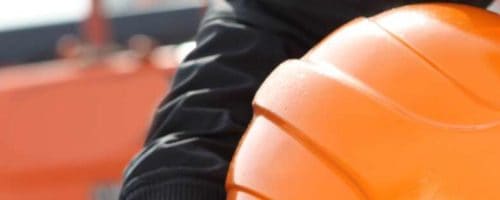
What to Look for in Hydrovac Excavation Services
Hydrovac excavation is a relatively new method of digging that uses pressurized water and a power vacuum system to break ...
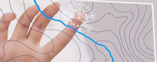
Valuable Benefits of 3D Scanning for Underground Utility Locating
Contractors and utility companies need the most accurate information when dealing with underground utilities. However, outdated maps and topological surveys ...
ADVANCEMENTS IN GIS TECHNOLOGY
What’s New with GIS Technology? GIS is moving into an expanded role that builds on the aggregative properties of big ...

How Land Surveying and GIS Work Together
Historically land surveying and geographic information systems (GIS) have been compared and contrasted. Many in the industry have argued that ...
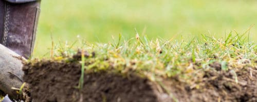
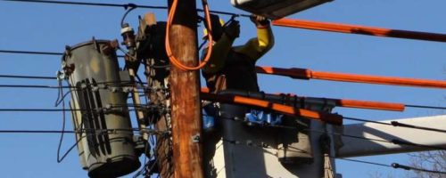
Remember to Dig Safely This Summer
This April marks the 11th annual National Safe Digging Month. It’s meant to give everyone the opportunity to reflect on ...
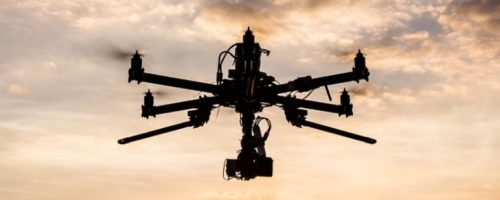
How Drone Technology Enhances Ground Penetrating Radar
New technology is changing the surveying is done and the results it’s able to deliver. Drones combined with ground-penetrating radar ...
How GIS Improves Disaster Recovery for Utilities
Hazard mapping is the process of locating natural hazards, including their physical relationship to people. Its primary focus has shifted ...
Identifying and Locating Utility Easements
Private and commercial property owners have a lot of questions when it comes to utility easements. How are they defined? ...
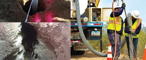
The Best Way to Tackle Utility Potholing
Underground utilities present a major hazard for work crews. Digging without knowing the precise location of utility lines is challenging ...
National Energy Technology Laboratory
Overview For Softdig’s National Energy Technology Laboratory project Softdig located utilities, performed test holes, and surveyed across both sites. Even ...
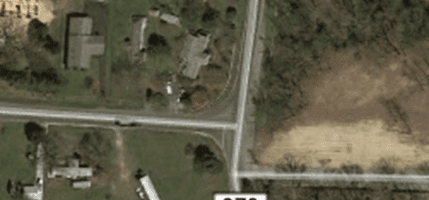
Duval County Line
Overview During our Duval County Line project located in Kent County, Delaware, Softdig preformed utility mapping of an area of ...
Clearview Landfill
Overview Softdig has work history in the industry of Environmental Remediation. For our Clearview Landfill project located in Eastwick, Pennsylvania, ...
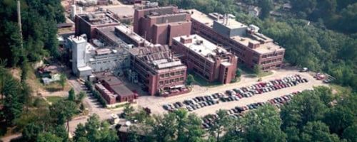
Chestnut Run Renaissance Project
Overview The Chestnut Run Renaissance project falls under the research facilities industry. For this project we designated and located utilities ...
Camp Arrowhead
Overview Softdig’s Camp Arrowhead project was completed in a few locations the main job was completed at the intersection of ...
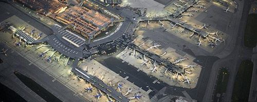
BWI Airport
Overview One assignment that falls into our Airport Industry category is the BWI Airport project. The BWI Airport is located ...